Modro značená cyklotrasa č. 2416 spája Vyšný Kubín so Zázrivou a na 33,8 kilometroch ponúka pestrú kombináciu oravských dedín, otvorenej krajiny, výhľadov aj lesných úsekov.
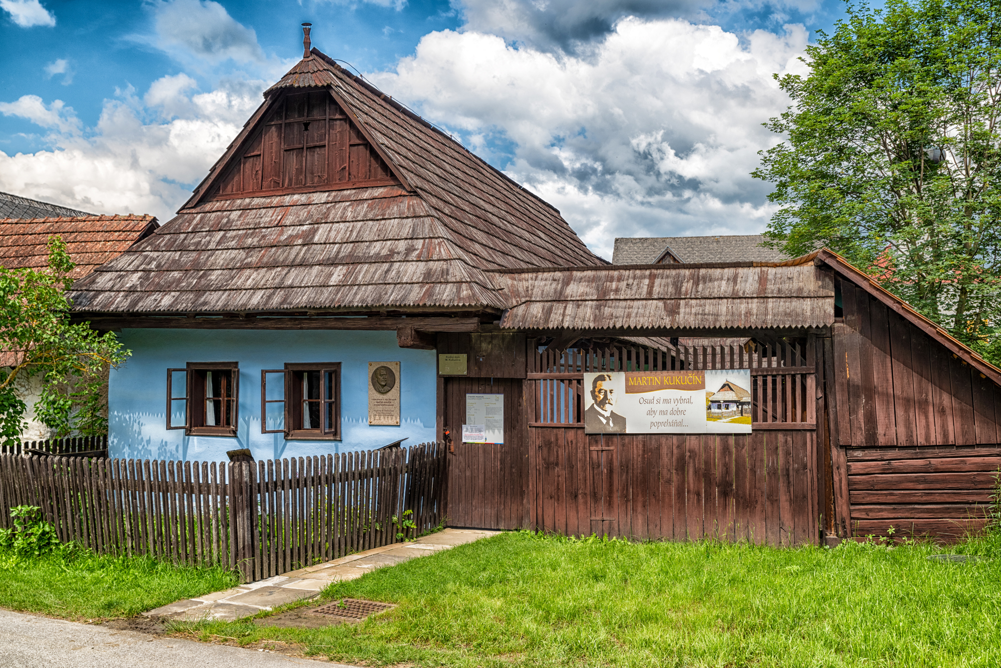
Z Vyšného Kubína vedie trasa do Jasenovej, rodiska spisovateľa Martina Kukučína. Odtiaľ pokračuje po spevnených cestách cez lokality Na Doline a Štyri chotáre. Nasleduje zjazd po poľných cestách do Žaškova a pokračovanie popri rieke Orava smerom k Istebnému.
V Istebnom prechádza trasa v blízkosti dreveného artikulárneho kostola so zvonicou a následne pokračuje lesnými cestami Istebnianskou dolinou cez územie Národného parku Malá Fatra. Záverečný úsek privedie cyklistov do Zázrivej, kde sa možno napojiť na ďalšie cykloturistické trasy.
Vďaka kombinácii asfaltových, štrkových a lesných ciest je trasa určená predovšetkým pre horské bicykle. Svojou dĺžkou a profilom patrí medzi stredne náročné cykloturistické trasy.
Cykloturistika
2416
Parametre trasy
Stredne náročná
Dĺžka
33,8 km
Časový odhad
2 h 30 min
Stúpanie
174 m
- Typ trasy Jednosmerná (A → B)
- Klesanie 327 m
Značenie cyklotrasy
Modrá
Typ bicykla
Horský (MTB)
Začiatok
Vyšný Kubín
Koniec
Zázrivá
Mapa trasy
Mapu trasy sa nepodarilo načítať. Trasu si môžete stiahnuť ako GPX súbor.
Výškový profil
Prejdite kurzorom po profile a bod sa zobrazí na mape.Povrch
Asfalt
Štrk
Lesná cesta
Cykloturistika
2416
Parametre trasy
Stredne náročná
Dĺžka
33,8 km
Časový odhad
2 h 30 min
Stúpanie
174 m
- Typ trasy Jednosmerná (A → B)
- Klesanie 327 m
Značenie cyklotrasy
Modrá
Typ bicykla
Horský (MTB)
Odkazy
Google Maps
Zaujal vás tento zážitok?
Stiahnite si aplikáciu Visit Orava a vyhľadajte ďalšie zážitky na Orave.