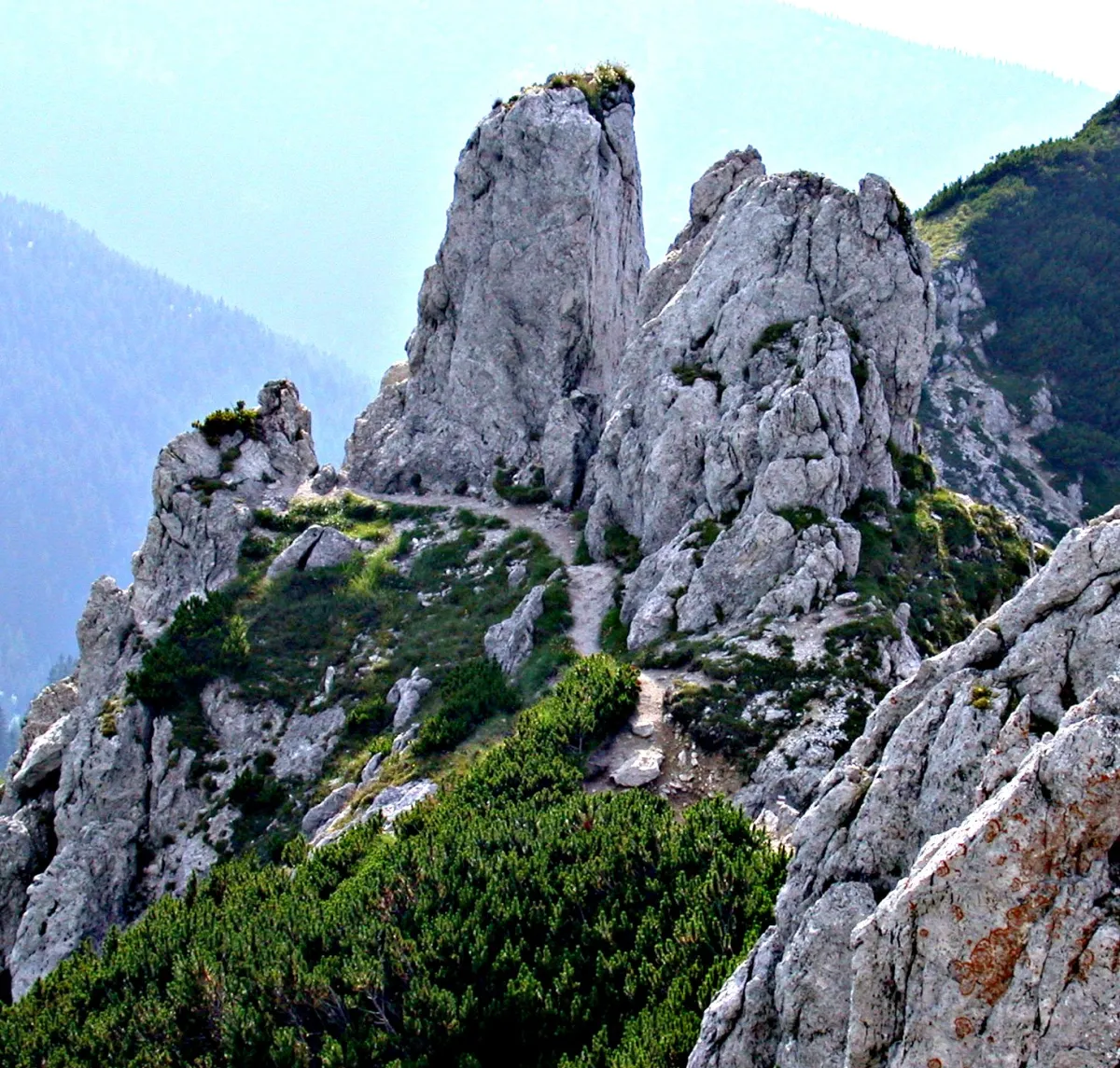
Sivý vrch (1,805 m) is one of the most distinctive peaks of the Western Tatras. The ascent from Horáreň pod Bielou skalou initially follows a steep forest trail before entering the remarkable limestone landscape of Biele and Radové skaly. This is both one of the most attractive and the most demanding sections of the hike. The rocky trail crosses exposed terrain, with two sections secured by fixed chains. In good weather, the summit offers extensive views of Orava, Liptov and the surrounding peaks of the Western Tatras. The return follows the same route back to Horáreň pod Bielou skalou.
Hiking
Route parameters
Hard
Length
9,2 km
Ascent
875 m
Altitude
940 – 1 805 m
- Route type There and back
- Descent 875 m
Trail marking
Red
Start
Horáreň pod Bielou skalou
Finish
Horáreň pod Bielou skalou
Route map
The route map could not be loaded. You can download the track as a GPX file.
Elevation profile
Move the cursor over the profile to locate the point on the map.
Hiking
Route parameters
Hard
Length
9,2 km
Ascent
875 m
Altitude
940 – 1 805 m
- Route type There and back
- Descent 875 m
Trail marking
Red
Links
Google Maps
Interested in this experience?
Download the Visit Orava app and discover more experiences in the Orava region.

