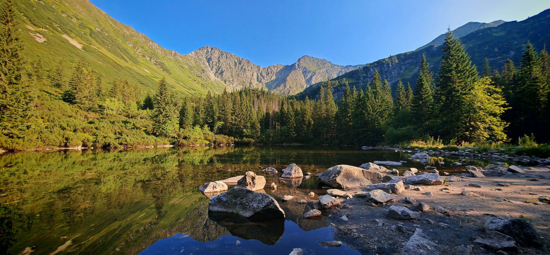
Trasa vás zavedie až do srdca západných Tatier, našich Roháčov, k Ťatliakovmu plesu. Singltrial okolo Studeného potoka vám ukáže skrytú krásu čistého potoka a v závere skúsite, či vás záverečné stúpanie k chate neodradí.
Cykloturistika
Parametre trasy
Stredne náročná
Dĺžka
28,2 km
Prevýšenie
796 m
- Typ trasy Jednosmerná (A → B)
Typ bicykla
Horský (MTB)
Trekingový
Mapa trasy
Mapu trasy sa nepodarilo načítať. Trasu si môžete stiahnuť ako GPX súbor.
Výškový profil
Prejdite kurzorom po profile a bod sa zobrazí na mape.
Cykloturistika
Parametre trasy
Stredne náročná
Dĺžka
28,2 km
Prevýšenie
796 m
- Typ trasy Jednosmerná (A → B)
Typ bicykla
Horský (MTB)
Trekingový
Odkazy
Zaujal vás tento zážitok?
Stiahnite si aplikáciu Visit Orava a vyhľadajte ďalšie zážitky na Orave.