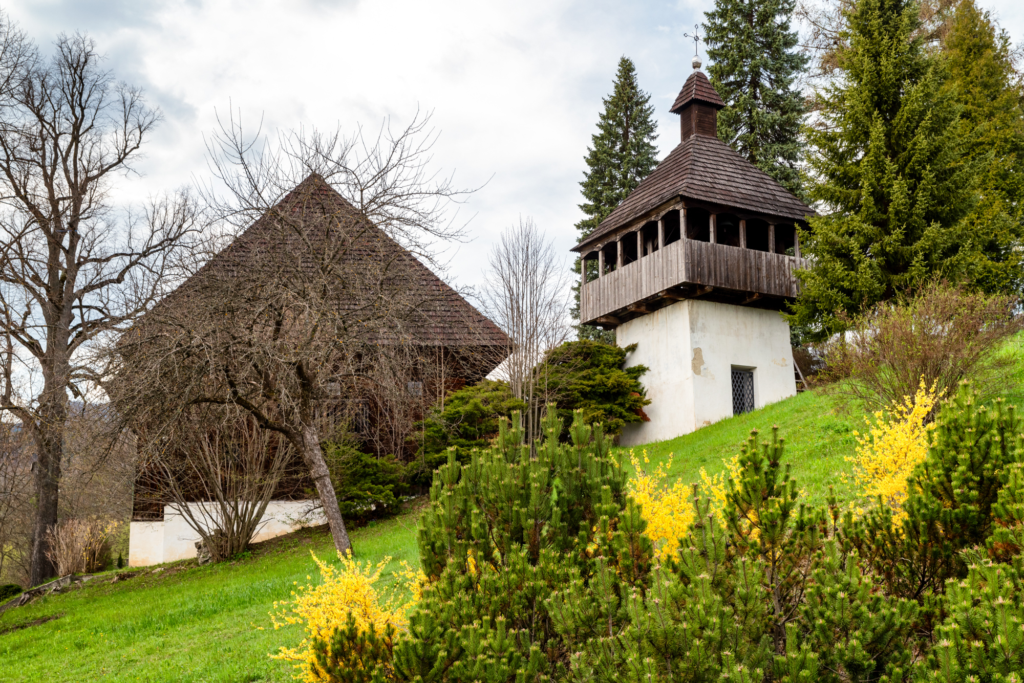
Zelená cyklotrasa č. 5411 spája Istebné s Kubínskou hoľou. Trasa dlhá 12,4 km začína pri drevenej zvonici v Istebnom a vedie cez Revišné do horského prostredia nad obcou.
Z Istebného pokračuje po spevnenej štrkovej ceste do Revišného. Odtiaľ nasleduje dlhšie stúpanie Prednou a Zadnou dolinou, ktoré vedie ochranným pásmom Národného parku Malá Fatra. Po výstupe popod vrchol Kľúč sa profil trasy mení a nasleduje zjazd smerom ku Kubínskej holi.
Trasa končí na parkovisku na Kubínskej holi. Odtiaľ možno pokračovať po červeno značenej Kubínskej cyklomagistrále č. 054 smerom do Dolného Kubína alebo na opačnú stranu smerom k sedlu Príslop.
Vzhľadom na kombináciu asfaltových, spevnených a lesných ciest je trasa určená pre horské bicykle.
Cykloturistika
5411
Parametre trasy
Ľahká
Dĺžka
12,4 km
Nadmorská výška
488 – 932 m
- Typ trasy Jednosmerná (A → B)
Značenie cyklotrasy
Zelená
Typ bicykla
Horský (MTB)
Začiatok
Istebné – zvonica
Koniec
Kubínska hoľa – parkovisko
Mapa trasy
Mapu trasy sa nepodarilo načítať. Trasu si môžete stiahnuť ako GPX súbor.
Výškový profil
Prejdite kurzorom po profile a bod sa zobrazí na mape.Povrch
Asfalt
Lesná cesta
Poľná cesta
Vybavenie a služby na trase
Vlek / lanovka
Bezplatné parkovisko
Platené parkovisko
Občerstvenie
Prístrešok
Vyhliadka
Cykloturistika
5411
Parametre trasy
Ľahká
Dĺžka
12,4 km
Nadmorská výška
488 – 932 m
- Typ trasy Jednosmerná (A → B)
Značenie cyklotrasy
Zelená
Typ bicykla
Horský (MTB)
Odkazy
Google Maps
Zaujal vás tento zážitok?
Stiahnite si aplikáciu Visit Orava a vyhľadajte ďalšie zážitky na Orave.